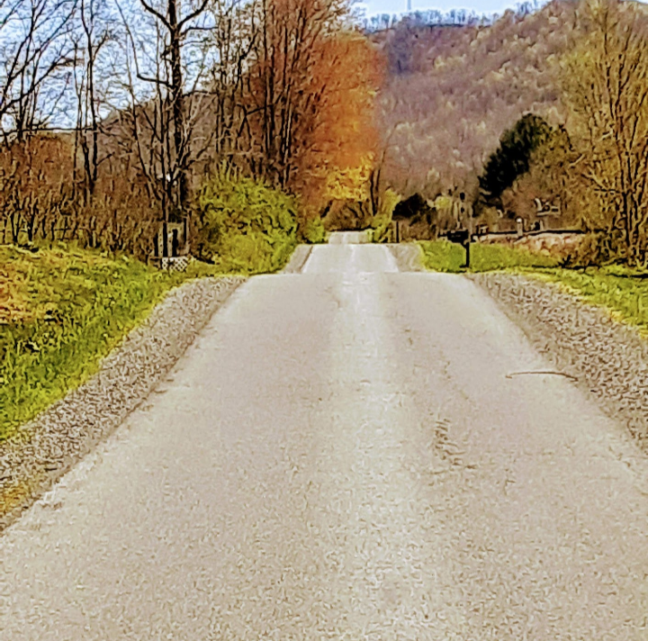
The Greenbrier River Trail
Spanning from Green Bank to Organ Cave, the 78-mile Greenbrier River Trail is the longest trail of its kind in West Virginia. Used for hiking, backpacking, horseback riding, bicycling and cross-country skiing, the trail traverses some of the state’s most remote areas.
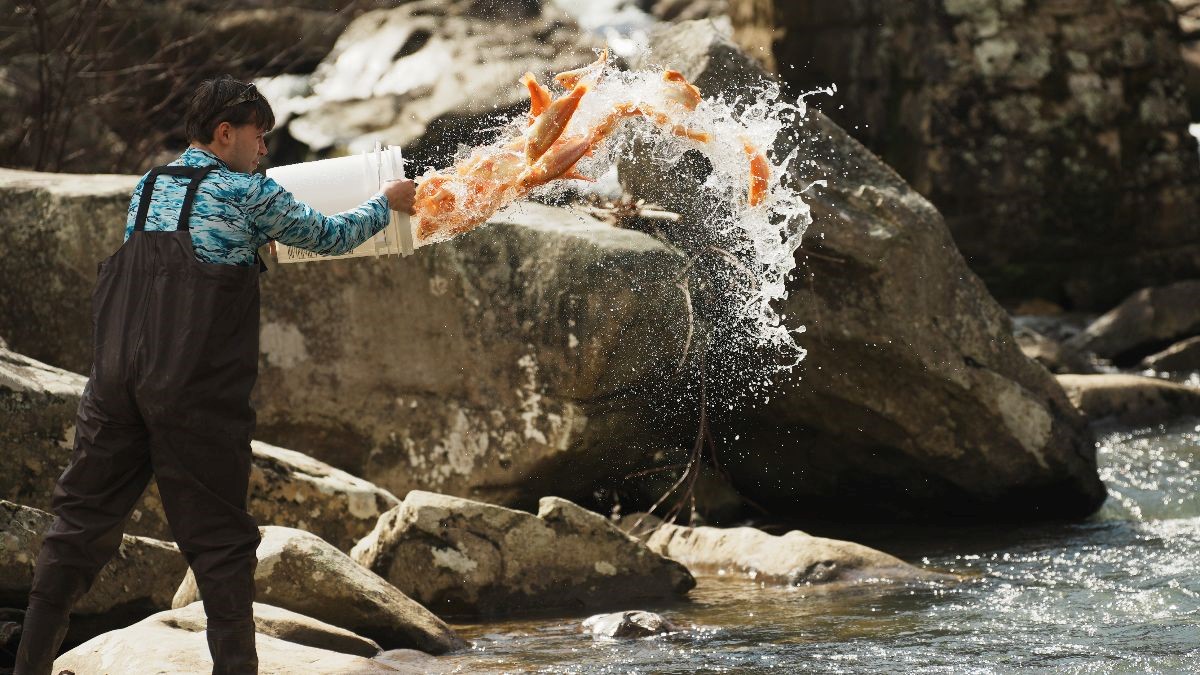
According to the West Virginia Division of Natural Resources, “A packed, crusher-run surface coupled with a mere one-percent grade creates an ease of riding that allows cyclists, young and old, to enjoy the many breathtaking views. The trail closely mirrors its namesake, the Greenbrier River, for most of its length, offering trail users countless opportunities for swimming and fishing.

It is the longest trail of its kind in West Virginia and passes through several small towns, crosses 35 bridges, goes through two tunnels and cuts through some of West Virginia’s most remote areas. The Greenbrier River Trail lies adjacent to the Monongahela National Forest, Seneca State Forest and Watoga State Park for most of its length.
The Greenbrier River Trail is one of 50 Millennium Legacy Trails in the United States, and was rated one of the top 10 hiking trails in the country by Backpacker Magazine. Part of the Greenbrier River Trail lies within a National Radio Quiet Zone so cell phones do not work.”
Tent-camping is permitted at 15 locations along the River Trail, including Beaver Creek, Clawson, Big Run, Sitlington, Greenbrier State Forest, Harper, Anthony, Renick, Horrock, Droop Mountain Tunnel and Mill Run. Food, restaurants and hotel lodging is also available throughout the length of the trail.
The River Trail is wheelchair-accessible, and features a four-mile paved section which begins in Marlinton.